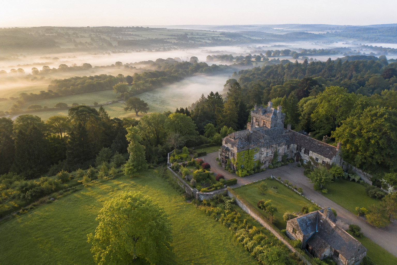
Aerial photography
Distinctive, high-resolution imagery for property, place, heritage and campaigns.
↗ aerial.work
Purposeful aerial imagery and data for property, construction, heritage, environment and film.
BUILT AROUND THE BRIEF
RPA's (drones) or manned aircraft with an array of cameras, lenses and sensors. We provide experienced, flexible, creative teams tailored to your budget and schedule.
Distinctive, high-resolution imagery for property, place, heritage and campaigns.
↗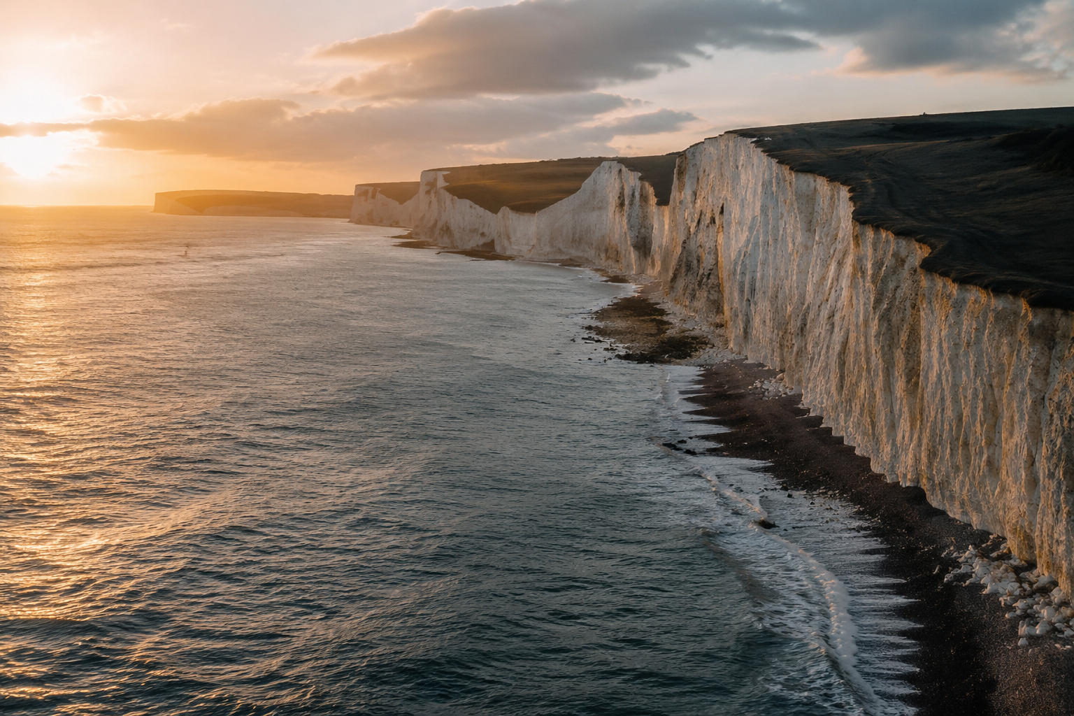
Fluid, cinematic movement for brand films, documentaries, social content and broadcast.
↗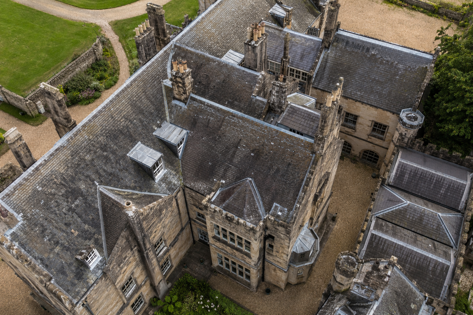
Safe visual access to roofs, structures, land and difficult-to-reach assets.
↗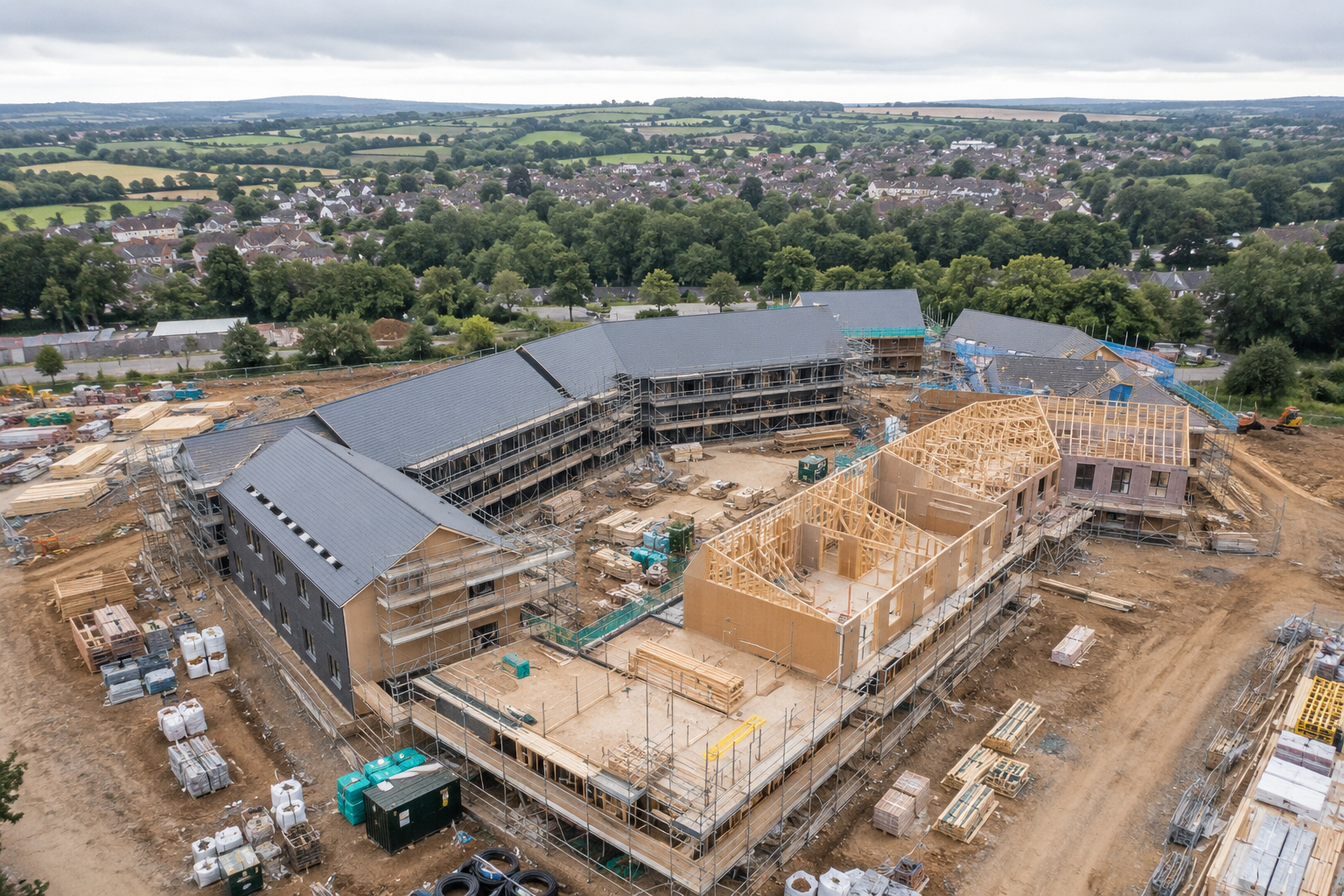
Repeatable viewpoints and clear visual records for construction and development.
↗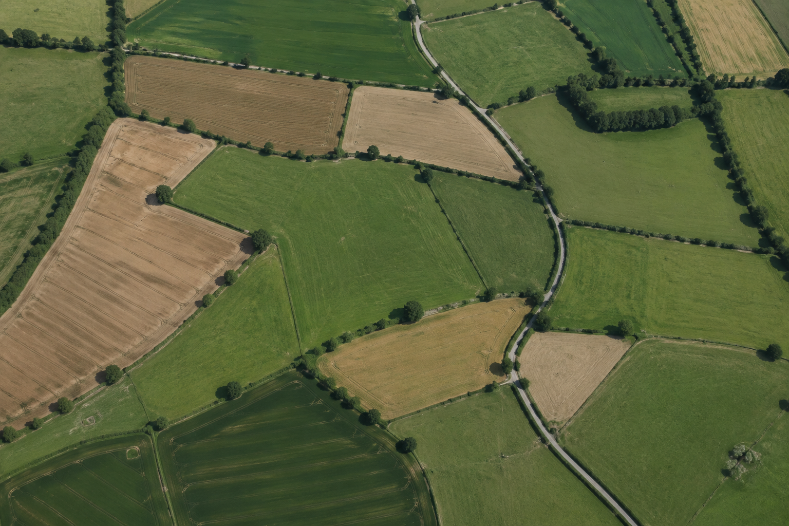
Aerial data capture for orthomosaics, photogrammetry and 3D context.
↗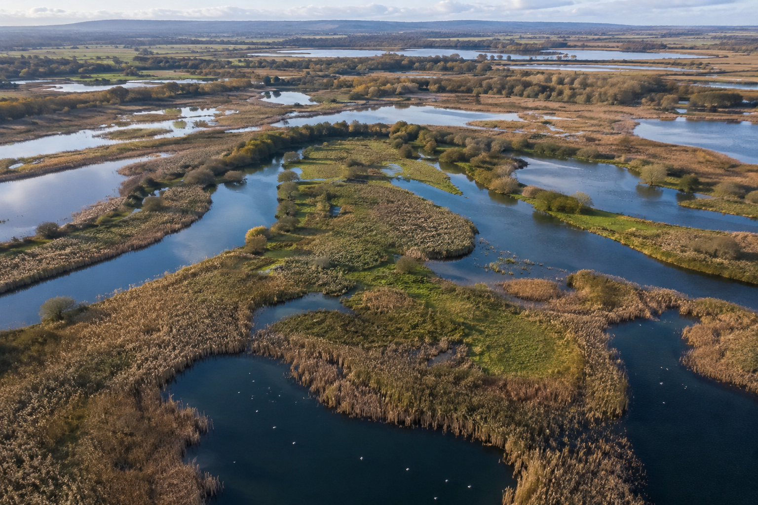
Low-impact observation and imagery for landscapes, habitats and conservation stories.
↗Efficient planning means a single visit can supply hero imagery, vertical social clips, inspection views and an evolving project record.
HOW WE WORK
We establish the audience, deliverables, location and practical constraints.
Airspace, weather, permissions and risk are checked before the day.
Disciplined flying, artful framing and efficient coverage on location.
Carefully selected, graded and organised files, ready to use.
HAVE A LOCATION IN MIND?
Tell us where, when and what you need. Tell us your deadline and available budget. We’ll help you plan a clear way forward.